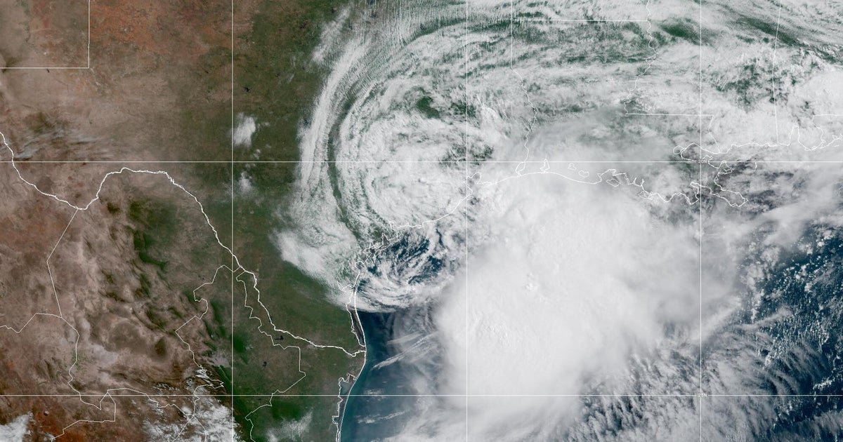
It has been an unusually quiet Atlantic hurricane season so far, and activity just hit a record low.
No hurricanes have formed yet in the Atlantic basin since the 2026 season kicked off June 1. Although seasons often peak in September and October, it’s rare to reach Sept. 15 without any hurricanes developing at all.
Data from the National Oceanic and Atmospheric Administration shows this is now the longest stretch without an Atlantic hurricane since at least 1966, which the agency considers the start of modern storm tracking because it marked the onset of satellite surveillance.
On average, the first named storm of a season tends to form near its start in June, while the first hurricane usually develops in early or mid-August, based on climate data collected between 1991 and 2020, according to the National Hurricane Center. A tropical storm receives a name when its winds reach 39 mph. When winds rise to 74 mph, the storm becomes a hurricane.
While uncommon, it isn’t unheard of for an Atlantic season to produce its first hurricane in September. In 2022, Hurricane Danielle became the year’s first Atlantic hurricane when it formed Sept. 2. Earlier, in 2013, Humberto marked that season’s first hurricane on Sept. 11, the same day Gustav became its season’s first hurricane in 2002. Before now, Sept. 11 had been the latest date of a year’s first hurricane on record since at least 1966.
Forecasters had predicted that the 2026 season would see below-normal activity in the Atlantic basin. NOAA’s Climate Prediction Center said in its annual hurricane season outlook that it expected the season to bring between seven and 13 named storms, including two to six hurricanes and zero to two major hurricanes, defined as Category 3 or above.
So far, five tropical storms have developed: Arthur, Bertha, Cristobal, Dolly and Edouard.
The El Niño effect
The onset of a particularly strong El Niño was a primary driver of this year’s Atlantic hurricane season forecast, and it seems to be panning out as meteorologists anticipated.
El Niño is a phase of the climate cycle called the El Niño Southern Oscillation Cycle, or ENSO.
It involves above-average sea surface temperatures in a section of the Pacific Ocean around the equator and reduces vertical wind shear, or changes in wind speed and direction at higher levels of the atmosphere, in the Pacific. The warmer waters fuel tropical cyclone development in the eastern Pacific and a weaker wind shear lessens the chance of a storm being broken apart.
In the Atlantic, El Niño has the opposite effect, causing relatively cooler water temperatures and more vertical wind shear. Those conditions aren’t ideal for the development of tropical systems.
In the past, El Niño has been associated with calmer Atlantic hurricane seasons. Typically, the more powerful El Niño is, the more substantial its related weather effects can be.
In its outlook, the Climate Prediction Center said El Niño was set to deepen throughout the 2026 hurricane season, including during the period when activity normally peaks in the Atlantic basin. It also noted how all other similarly strong El Niño events coincided with near or below-average Atlantic hurricane seasons dating back to 1950.